

PORTALJABAR, BANDUNG CITY - Academics from the Bogor Agricultural Institute (IPB), the Bandung Institute of Technology (IPB), and the University of Nottingham have created software to predict peatland fires. The tool, called PEATFR, applies a stochastic approach, machine learning, and optimization to predict peat fires.
The methods used are aimed at assisting monitoring, prevention, resource allocation, and policy-making based on scientific information.
Bagus Putra Muljadi of the University of Nottingham said that public attention is often drawn to the immediate causes, chronology, and emergency response following wildfires. However, fire prevention remains under-focused.
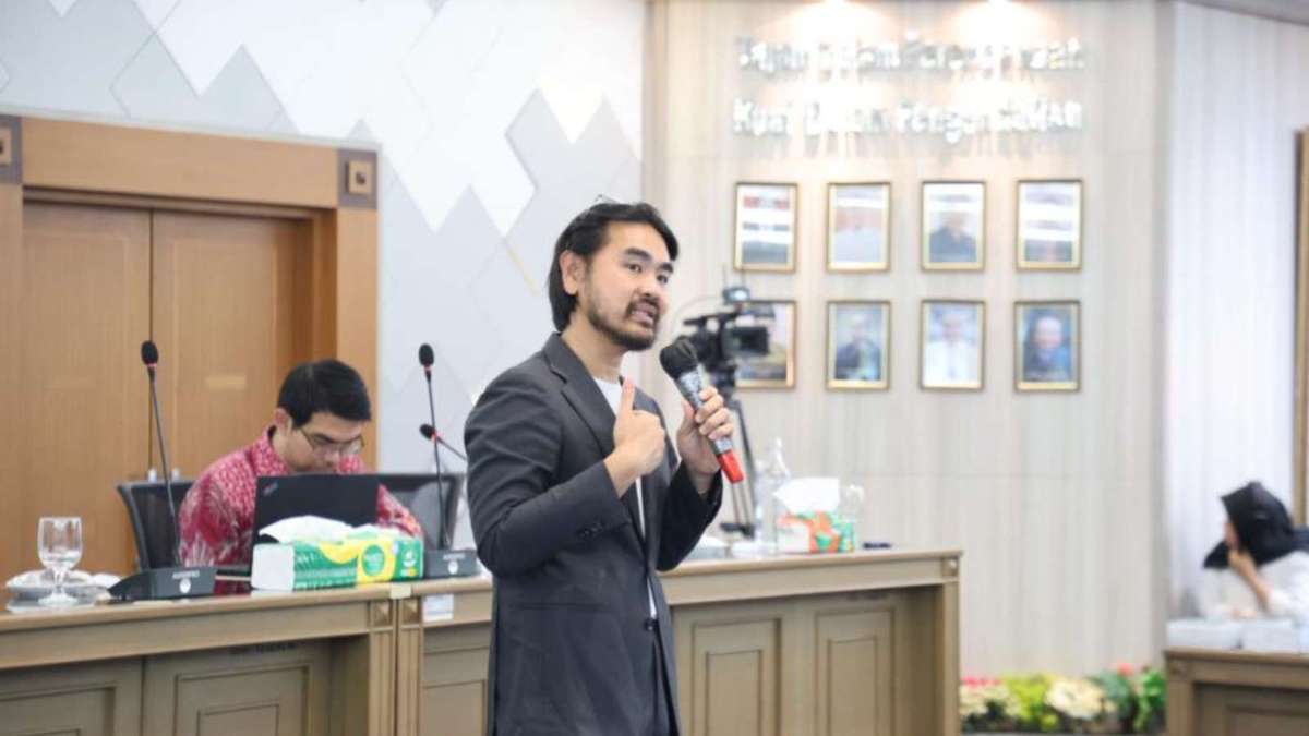
"Prevention requires asking the question early: when and where does a peat landscape become dry and vulnerable enough for an ignition source to develop into a fire that is difficult to control? This question can be approached scientifically," Bagus said at the National Seminar and Workshop "Understanding and Preventing Tropical Peat Fires."
Scientifically: Training on the Use of Computational Methods for Mapping Areas Prone to Tropical Peat Fires”, Wednesday (2/9/2026).
Predictive models do not replace field workers or government decisions, but they help identify areas that need more intensive monitoring, locations that need to be prioritized for restoration or rewetting, and where prevention resources should be deployed early.
Furthermore, Bagus explained that PEATFR can be an early warning system for peat fires to reduce losses, such as health problems and economic losses.
During the seminar, Adilan Widyawan Mahdiyasa, a lecturer in the Statistics Research Group at ITB and Head of the Statistics and Computation Laboratory at ITB, taught participants how to use PEATFR directly. Participants not only saw the final results in the form of maps or risk figures, but also showed how computational methods are used to transform data into usable risk information for decision-making. This way, government officials, regional researchers, and universities can understand how the model works, assess its relevance to local conditions, and later apply it to their respective regional data.
West Java as a liaison
West Java Regional Secretary Herman Suryatman added that West Java is not one of Indonesia's primary peat ecosystem areas. Nevertheless, West Java can serve as a bridge between research, field needs, and interregional cooperation.
In the context of peat fires, areas that do not have large peat areas can still contribute through networks of knowledge, technology, education, and institutional capacity.
"From West Java to Indonesia. We can learn from Mr. Bagus's explorations regarding forest fire mitigation and prevention, especially in peatlands," Herman said.
West Java provides space to match existing capacity with the needs of different regions.
This seminar will be followed up with training for participating provinces and institutions that wish to deepen their understanding of the use of PEATFR and peat fire risk prediction methods.
The training will focus on technical sessions with smaller groups, the use of regionally owned data, and training for local officials and universities to implement, evaluate, and develop the method according to the characteristics of their respective regions. In this way, knowledge transfer doesn't stop in Bandung but moves to the regions that will use it.
WEST JAVA PUBLIC RELATIONS
Head of the Communication and Information Service of West Java Province
Adi Komar
 Share News Via
 facebook
 twitter
 whatsapp
 email
email